Communities
National Planning
- Impacts & Adaptation
Research Programme
- Patrick Walsh
Manaaki Whenua Landcare Research - View the full team
Project Lead
-
Budget
$88,895 -
Duration
November 2017-June 2019
-
Completed project
Research Project
Flood mitigation schemes: are they working in flood-prone areas?
Flooding is the most economically damaging natural hazard in New Zealand. Since 2014 there have been over $300 million of insurance claims for flooding damage to homes, farms and infrastructure. Costs will increase as climate change continues to cause more flooding, and urban development intensifies in floodplains.
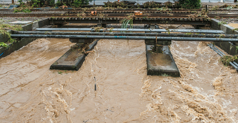
This research explored several important and new research questions related to flood mitigation schemes. We explored whether or not all flood-prone settlements have schemes in place – and catalogued and mapped flood mitigation scheme locations using regional council data. Additionally, we investigated whether flood mitigation scheme funding is adequate, by analysing data on flood damage claims and property rates. We used this information to identify possible improvements in the system.
Flood mitigation work is expensive and most councils top up funds from targeted rates on property owners in areas of high flood risk. These are called flood mitigation schemes. These schemes can be voluntarily requested by a neighbourhood or local area. Councils collect additional rates from property owners and ring fence the funding for flood mitigation.
(Some councils, such as Auckland Council, pay for flood protection entirely from general rates and do not operate flood mitigation schemes.)
This research project showed that Council run flood mitigation schemes do not benefit everyone equally. Communities where the median household income is less than $60,000-$80,000 are less likely to have flood schemes, because of income limitations and social and economic barriers. For example, community involvement and organisation is typically needed to help set up a scheme. Lower socio-economic areas are also less likely to have the leverage or influence needed to lobby their Council about flood risks and flood protection.
To plan for and fund future flood risk and sea level rise it will be important to pair flood schemes with other funding measures that can accommodate low-income at risk areas.
Councils are also more likely to fund flood protection measures for land which is perceived as higher value land. Production land that supports dairy farms, orchards, vineyards etc., are more likely to have access to targeted flood mitigation funding than areas which support native forest, forestry, or sheep and beef farms.
The research team also analysed data about EQC claims and found that in areas where a flood mitigation funding scheme is in place there are approximately $20,000 to $40,000 less in EQC claims in neighbourhoods that have flood schemes. EQC claims represent only a fraction of total insurance claims, so these results indicate schemes have real benefits. Research results suggest that additional policy tools will be needed in the future as areas that are already vulnerable will be less likely to be protected from flooding. With sea level rise and flooding projected to increase, these concerns will only increase.
The team also analysed whether the public have access to accurate information about flood risk and flood mitigation. Public access to data is getting better partly because most councils make flood risk maps available online. However, the quality and usability of the flood maps varies. Often the maps do not incorporate detailed local knowledge about flooding. For example, we surveyed over 4,500 farmers about known flood risks and compared their responses to the publicly available maps. Local knowledge about flooding was not always incorporated into the maps. This difference was particularly stark in the Eastern Bay of Plenty and the West Coast Region, both of which have experienced severe flooding in recent years.
This project in the media:
- Improving flood management, BuildNZ
- Treading water, LGNZ Magazine
- No time to delay on adapting to climate change, Nelson Mail
- NZ needs to do more before we get caught out by climate change, NZ Herald
PROJECT TEAM
-
Patrick Walsh
Manaaki Whenua Landcare Research -
Ryan Paulik
NIWA -
Thomas Robertson
Manaaki Whenua Landcare Research -
Utkur Djanibekov
Manaaki Whenua Landcare Research